Photogrammetry vs LiDAR: Which 3D Capture Method Wins
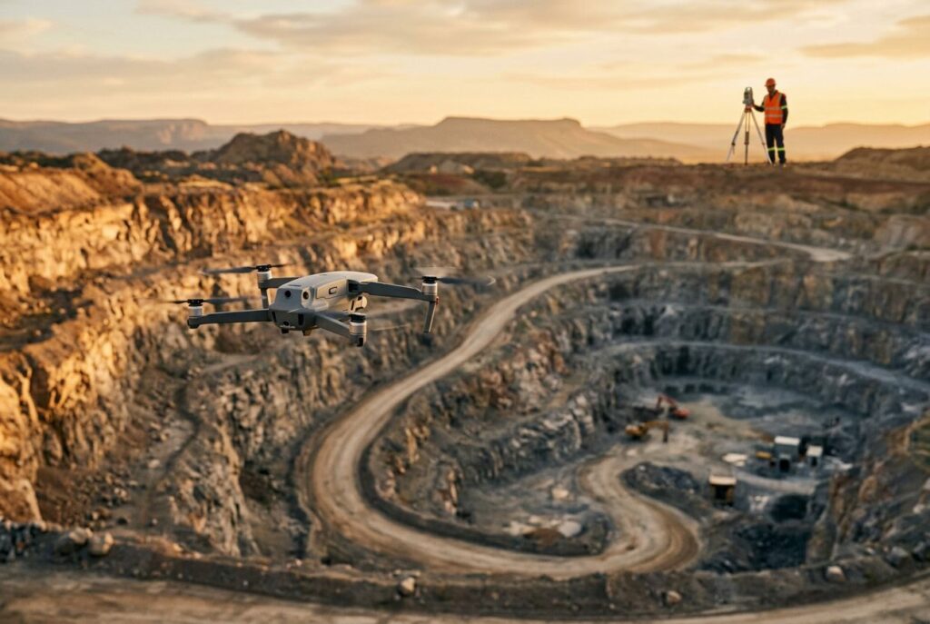
Photogrammetry and LiDAR both produce a 3D model of a real-world scene, but they capture it in fundamentally different ways: photogrammetry reconstructs geometry from overlapping photographs, while LiDAR measures it directly with laser pulses. That single difference is why one technology wins on a cleared construction site and the other wins under a forest canopy, why the two produce visually different deliverables, and why many survey teams end up using both rather than picking a winner. This guide walks through how each method builds a 3D model, what the accuracy figures actually show, how they handle vegetation, and when combining them pays for itself.
- How photogrammetry works: turning photos into a 3D model
- How LiDAR works: measuring the scene directly with laser light
- Photogrammetry vs LiDAR: side-by-side comparison
- Accuracy: it's less about the sensor than the workflow
- Vegetation and canopy penetration
- Cost and hardware requirements
- Workflow: from capture to deliverable
- When to use each
- Combining both: why many surveyors don't choose just one
- Frequently asked questions about photogrammetry and LiDAR
How photogrammetry works: turning photos into a 3D model
Photogrammetry — specifically the modern variant called Structure from Motion (SfM) — builds a 3D model from a series of overlapping 2D photographs. The principle is the same triangulation used in classic stereo photogrammetry: if you can identify the same point on the ground or on an object in several images taken from different positions, the rays from each camera location to that point intersect at a single 3D coordinate. Do that for thousands of matched points across hundreds of overlapping photos and the result is a point cloud of the scene.
In practice, specialized software automatically detects distinctive features — corners, edges, textured patches — and tracks them from photo to photo. A feature needs to appear in at least three images for the software to triangulate it reliably, though far more overlap than that is normal for a real survey. From those matches, the software solves simultaneously for where each photo was taken and where each 3D point sits in space, producing a sparse point cloud first and then a much denser one by interpolating additional points from the image data itself. The final deliverables are a dense point cloud, a digital elevation model, and an orthomosaic — a distortion-corrected, photorealistic aerial image stitched from the source photos.
Because the underlying data is ordinary photographs, no specialized sensor is required: a standard consumer-grade camera on a drone, or even a handheld phone for small objects, is enough to run SfM. That accessibility is one of photogrammetry's biggest practical advantages over LiDAR.
How LiDAR works: measuring the scene directly with laser light
LiDAR (Light Detection and Ranging) skips photo interpretation entirely and measures distance directly. It fires laser pulses — typically near-infrared light around 1064 nm for terrestrial mapping — at the scene and times how long each pulse takes to bounce back, converting that time of flight into a precise distance. A mapping-grade LiDAR unit repeats this hundreds of thousands to millions of times per second while the sensor moves, building a dense point cloud where every point is a direct range measurement rather than a triangulated estimate. (LiDAR is a close cousin of radar and sonar — we cover how it stacks up against radio-wave ranging in our LiDAR vs radar comparison.)
After the flight, the raw point cloud is georeferenced against the sensor's recorded position and orientation, then classified and filtered to separate returns from vegetation, buildings, and bare ground. That classification step is what makes LiDAR uniquely good at producing a clean digital terrain model even when the surface itself is hidden from view.
Photogrammetry vs LiDAR: side-by-side comparison
| Criterion | Photogrammetry | LiDAR |
|---|---|---|
| Capture principle | Triangulation from overlapping photos (Structure from Motion) | Direct time-of-flight distance from laser pulses |
| Sensor hardware | Standard consumer-grade camera; no specialized sensor required | Purpose-built laser scanner; historically the pricier option, though costs are falling |
| Lighting requirement | Needs daylight to capture usable images | Works day or night; unaffected by ambient light |
| Visual output | Photorealistic orthomosaic and textured 3D mesh | 3D point cloud only — accurate geometry, no photorealism |
| Vegetated / cleared sites | Best on cleared sites; struggles to see the ground under canopy | Can reach the ground through gaps in canopy; the clear choice for uncleared, vegetated terrain |
| Data processing | Feature matching, triangulation, dense point cloud, orthomosaic generation | Georeferencing, point classification (ground / vegetation / structure), terrain filtering |
Read this table with one caveat in mind: several rows depend as much on the survey workflow — ground control, base station setup, image or pulse overlap — as on the sensor itself. The next two sections go into why.
Accuracy: it's less about the sensor than the workflow
It is tempting to assume LiDAR is simply "more accurate" because it measures distance directly instead of triangulating it from photos. The published numbers don't support a blanket claim either way. Drone survey company Propeller, comparing its own photogrammetric and LiDAR processing pipelines, reports that a PPK-corrected photogrammetric workflow can reach vertical accuracy up to about 0.1 ft (roughly 3 cm), while a comparable LiDAR workflow on the same platform reaches about 0.2 ft (roughly 6 cm) — meaning a well-controlled photogrammetry survey can match or beat LiDAR on vertical accuracy over a cleared site. Propeller's own conclusion is that accuracy on either sensor is driven mainly by drone positioning and ground control, not by which sensor is mounted.
Terrain and surface texture matter too. A comparison of three Structure-from-Motion software packages processing identical drone imagery over five terrain types — marsh, beach, forested peninsula, a house, and a paved car park — found that point cloud density and vertical values varied noticeably between software and between terrain types, and that surveys without ground control drifted far more than surveys that used it. Featureless, low-texture surfaces such as water, sand, or wet marsh are the hardest case for photogrammetry, because the software has fewer distinctive points to match between photos.
The practical takeaway: neither technology has an inherent accuracy edge baked into its physics. What decides accuracy in the field is ground control, base station setup, flight height and overlap, and — for photogrammetry specifically — how much usable surface texture the site offers.
Vegetation and canopy penetration
This is the one area where the two technologies are genuinely not interchangeable. LiDAR does not actually see through leaves, branches, or grass — it detects the gaps between them. Because a mapping LiDAR fires hundreds of thousands to millions of pulses per second, enough of those pulses find small openings in the canopy to reach the ground and bounce back, even where a camera lens would only ever see the top of the foliage. Drone survey company Propeller has measured LiDAR maintaining accurate ground measurements on sites with up to roughly 90% vegetation cover, compared with about 60% for photogrammetry under the same conditions, before photogrammetric ground detection breaks down.
How much of the canopy LiDAR actually penetrates depends heavily on the forest itself. LiDAR manufacturer YellowScan notes that in dense tropical rainforest, only about 10% to 30% of transmitted pulses make it through the canopy to the ground — the rest are reflected by leaves and branches before they ever reach bare earth. Denser pulse rates (upward of 800 pulses per square meter), a narrower beam divergence, and analyzing multiple returns per pulse all improve how much of the ground gets sampled, but even the best mapping-grade systems benefit from occasional manually surveyed ground points in extremely dense canopy.
Photogrammetry, by contrast, has no equivalent trick: a camera cannot reconstruct a surface it never photographed, so any ground hidden under continuous foliage simply isn't in the model. For a cleared job site, a beach, or a building facade, that limitation never comes up — which is exactly why photogrammetry remains the default choice once vegetation is out of the picture.
Cost and hardware requirements
LiDAR sensors have historically cost substantially more than the cameras used for photogrammetry, a gap that Propeller notes has been narrowing as more compact, lower-cost LiDAR units — several designed to bolt onto the same drone platforms used for photogrammetry — have reached the market. Photogrammetry's hardware advantage remains simple: any standard consumer-grade camera, mounted on a drone or even handheld, is sufficient to capture usable imagery, with no laser scanner, inertial unit, or specialized processing hardware required beyond a computer capable of running the SfM software.
That asymmetry is why photogrammetry tends to be the default starting point for teams without an existing LiDAR sensor, while LiDAR gets adopted once a project's terrain (dense vegetation) or operating conditions (low light, night flights) make photogrammetry impractical regardless of price.
Workflow: from capture to deliverable
Both methods share the same first step: flight planning and ground control. Propeller emphasizes that whichever sensor is on the drone, the survey still needs a base station and ground control points, because overall accuracy is corrected against that reference rather than trusted to onboard GPS alone. From there, the two pipelines diverge:
- Photogrammetry: capture overlapping photos → software matches common features across images and triangulates camera positions and 3D points → a sparse point cloud is densified using the surrounding image data → a digital elevation model and a photorealistic orthomosaic are generated from the result.
- LiDAR: the sensor fires continuous laser pulses while flying → the raw point cloud is georeferenced against the platform's recorded position and orientation → returns are classified into ground, vegetation, and structure → a bare-earth digital terrain model is filtered out of the ground-classified points.
Processing both is compute-heavy: dense point cloud generation and mesh building are workloads that scale with core and GPU performance, which is why teams running either pipeline at volume tend to invest in the kind of hardware covered in our GPU workstation guide rather than processing on a laptop.
When to use each
Forestry, corridor mapping, and uncleared terrain
Any site with standing vegetation — forestry surveys, power-line corridor mapping, archaeological sites under jungle canopy — favors LiDAR. It is the only one of the two that can produce a usable bare-earth model without clearing the site first.
Cleared sites, earthworks, and progress tracking
Once a site is cleared — a construction pad, a quarry, a completed grading job — photogrammetry is usually the more practical choice: it needs no specialized sensor, produces a photorealistic record useful for stakeholder reporting, and (with proper ground control) can match LiDAR's vertical accuracy.
Low light and night operations
Photogrammetry needs daylight to expose usable images; LiDAR is indifferent to ambient light, which is why tripod-mounted or low-altitude LiDAR is the practical option for scanning at night or in enclosed, poorly lit spaces (flying a drone at night still requires regulatory clearance regardless of sensor).
Heritage documentation and small-object capture
Structure-from-Motion's biggest strength is photorealism at a low hardware bar: it has been used to reconstruct historical buildings and monuments from crowd-sourced photographs with no specialized equipment at all, which makes it the natural fit whenever the goal is a visually faithful model rather than a bare-earth terrain surface.
Combining both: why many surveyors don't choose just one
The cleanest evidence that this isn't really an either/or decision is that hardware vendors now sell sensors that do both at once: DJI's Zenmuse L1 and L2, mounted on drones like the Matrice 300 or 350 RTK, combine a LiDAR scanner with an RGB camera on the same gimbal, capturing a geometrically accurate point cloud and photorealistic imagery in a single flight. That lets a survey team get LiDAR's ground penetration on the vegetated parts of a site and photogrammetry's photorealistic texture on the cleared parts, without flying twice.
Fusing the two data streams into a single coherent model is a sensor fusion problem in the same sense as combining any two complementary sensors: each stream is georeferenced using the platform's own position and orientation data (the IMU onboard the drone), then aligned and merged using techniques such as the Kalman filtering and point-cloud registration methods covered in our guide to sensor fusion algorithms. The result is redundancy — a gap in one dataset can be filled by the other — rather than a forced choice between geometric accuracy and visual realism.
Frequently asked questions about photogrammetry and LiDAR
Is LiDAR more accurate than photogrammetry?
Not automatically. Published figures from drone survey company Propeller show a well-controlled photogrammetric workflow reaching vertical accuracy up to about 0.1 ft (roughly 3 cm), matching or beating a comparable LiDAR workflow on the same platform at about 0.2 ft (roughly 6 cm) on a cleared site. Accuracy is driven mainly by ground control and flight workflow, not by which sensor is used.
What are the disadvantages of photogrammetry?
It needs daylight to capture usable images, it cannot reconstruct ground hidden under vegetation, and its accuracy drops on low-texture surfaces such as water, sand, or bare marsh where the software has few distinctive points to match between photos.
What can LiDAR not detect?
LiDAR does not see through solid vegetation — it only detects gaps in the foliage that let laser pulses reach the ground, and in dense tropical rainforest only an estimated 10% to 30% of pulses make it through the canopy. It also does not capture color or texture: its output is a geometric point cloud, not a photorealistic image.
Is there anything better than LiDAR?
For photorealistic, low-cost 3D capture of a cleared site or an object, photogrammetry is often the more practical choice, and combined LiDAR-plus-camera sensors now let teams capture both data types in one flight rather than treating it as a single "better" sensor question.
Which is cheaper: LiDAR or photogrammetry?
Photogrammetry has the lower hardware bar — any standard consumer-grade camera is enough. LiDAR sensors have historically cost more, though that gap has been narrowing as compact, drone-mountable LiDAR units have entered the market.
Recommended: